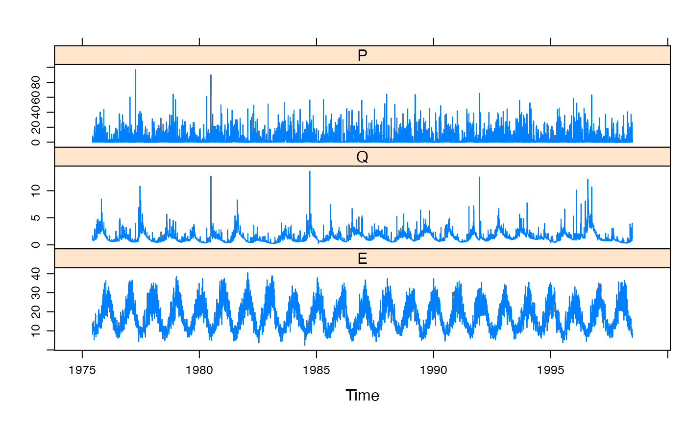
Rainfall and streamflow for Murrindindi River at Murrindindi above Colwells.
Source:R/Murrindindi.R
Murrindindi.RdDaily rainfall and streamflow for Murrindindi River at Murrindindi above Colwells (Victoria, Australia), from 1975-06-08 to 1998-06-30. The catchment area is 105.9 square kilometers.
MurrindindiFormat
A zoo object, of class c("zooreg", "zoo"). It
is a regular time series indexed by days, in Date format.
There are three columns, P (areal rainfall, mm/day) and Q
(streamflow, mm/day). E (temperature, degrees C).
Source
Department of Sustainability and Environment (VIC).
Temperature: Copyright (c) Commonwealth of Australia.
Details
- Rainfall (P)
Daily areal rainfall (mm/day).
Unknown...
Derived from rain gauges operated by Bureau of Meteorology. An area-weighted average was used, with weights determined from a long-term spline-interpolated rainfall surface.
- Streamflow (Q)
Daily mean streamflow (mm/day). Stream gauge ID 405205A "Murrindindi @ Murrindidi above Colwells". Latitude -37.412; Longitude 145.558.
- Temperature (E)
Unknown.
Examples
data(Murrindindi)
summary(Murrindindi)
#>      Index                  P                Q                 E
#>  Min.   :1975-06-08   Min.   : 0.000   Min.   : 0.2113   Min.   : 2.41
#>  1st Qu.:1981-03-13   1st Qu.: 0.000   1st Qu.: 0.7819   1st Qu.:11.78
#>  Median :1986-12-18   Median : 0.610   Median : 1.1893   Median :16.77
#>  Mean   :1986-12-18   Mean   : 4.356   Mean   : 1.4651   Mean   :17.77
#>  3rd Qu.:1992-09-23   3rd Qu.: 5.353   3rd Qu.: 1.8097   3rd Qu.:23.09
#>  Max.   :1998-06-30   Max.   :96.970   Max.   :13.6175   Max.   :40.56
xyplot(Murrindindi)
